GNSS · UAV · LiDAR
Accurate field capture and spatial intelligence for planning, verification and safer execution.

Integrated mining technologies
Advanced sensing, surveying, monitoring and analytics connect field conditions to actionable insight.
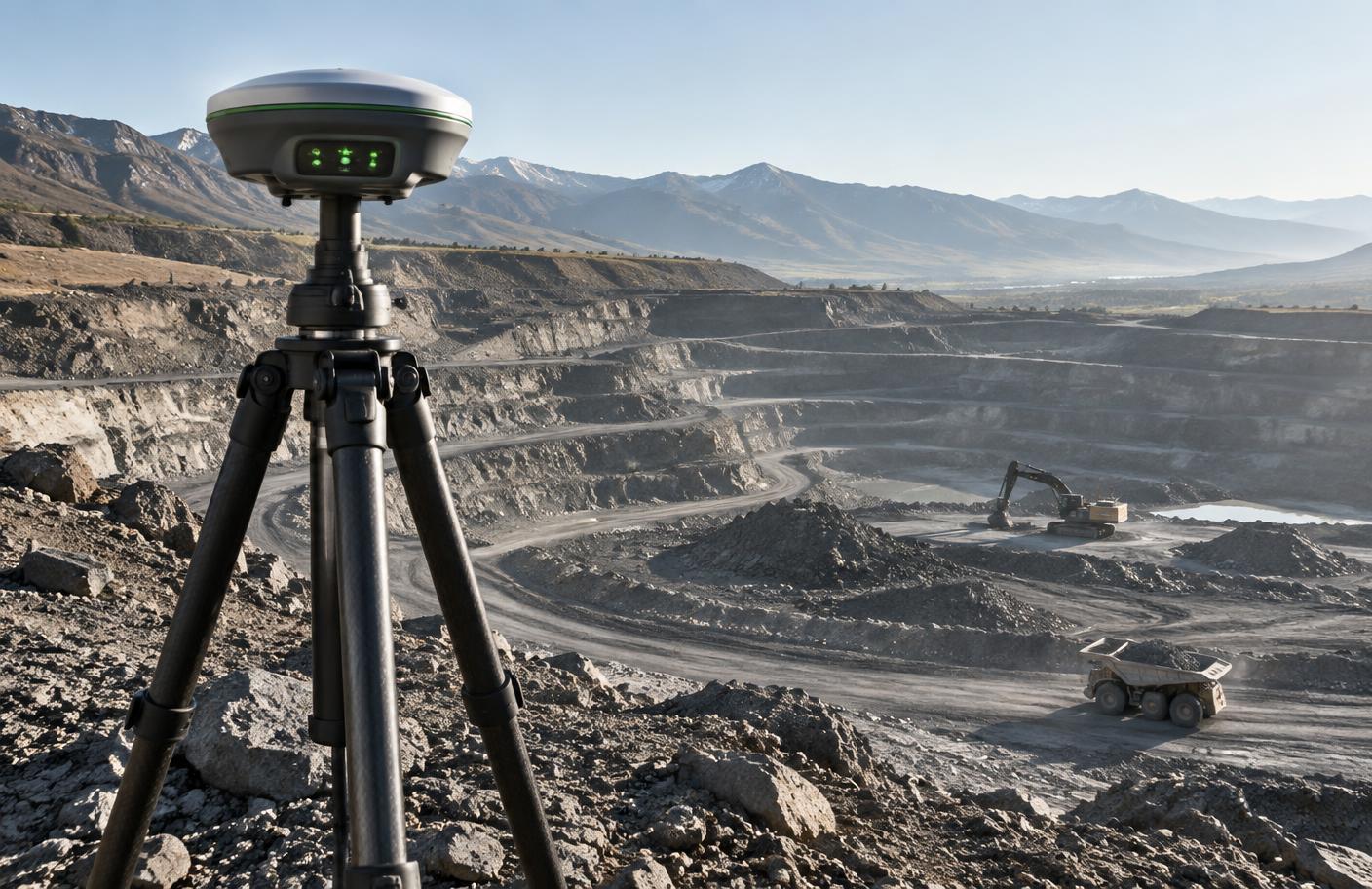
Accurate field capture and spatial intelligence for planning, verification and safer execution.
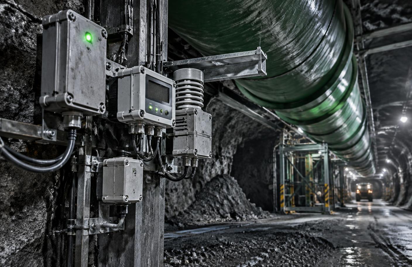
Continuous environmental visibility across underground and surface operations.
Early insight into changing ground conditions, vibration and structural behaviour.
Connected operational data presented clearly for faster, more informed decisions.
How intelligence flows
Ready to start?